Industries
Sectors we already work in
Local government, agriculture, mining, roads, environment, land and research. The work differs. The maps still have to be right.
Local Government & Urban Planning
Land-use zoning, slum upgrading, infrastructure design and spatial planning for municipalities and planning agencies.
Agriculture
Precision farming, soil health analysis, irrigation planning and crop health monitoring for farms and agricultural operations.
Disaster Management
Flood risk mapping, wildfire detection, damage assessment and resilience planning for disaster management agencies.
Mining & Natural Resources
Resource exploration support, environmental compliance monitoring and illegal mining detection for mining operations and regulators.
Roads & Infrastructure
Road and railway corridor design, utility network mapping and road asset management systems for infrastructure agencies.
Environmental Management
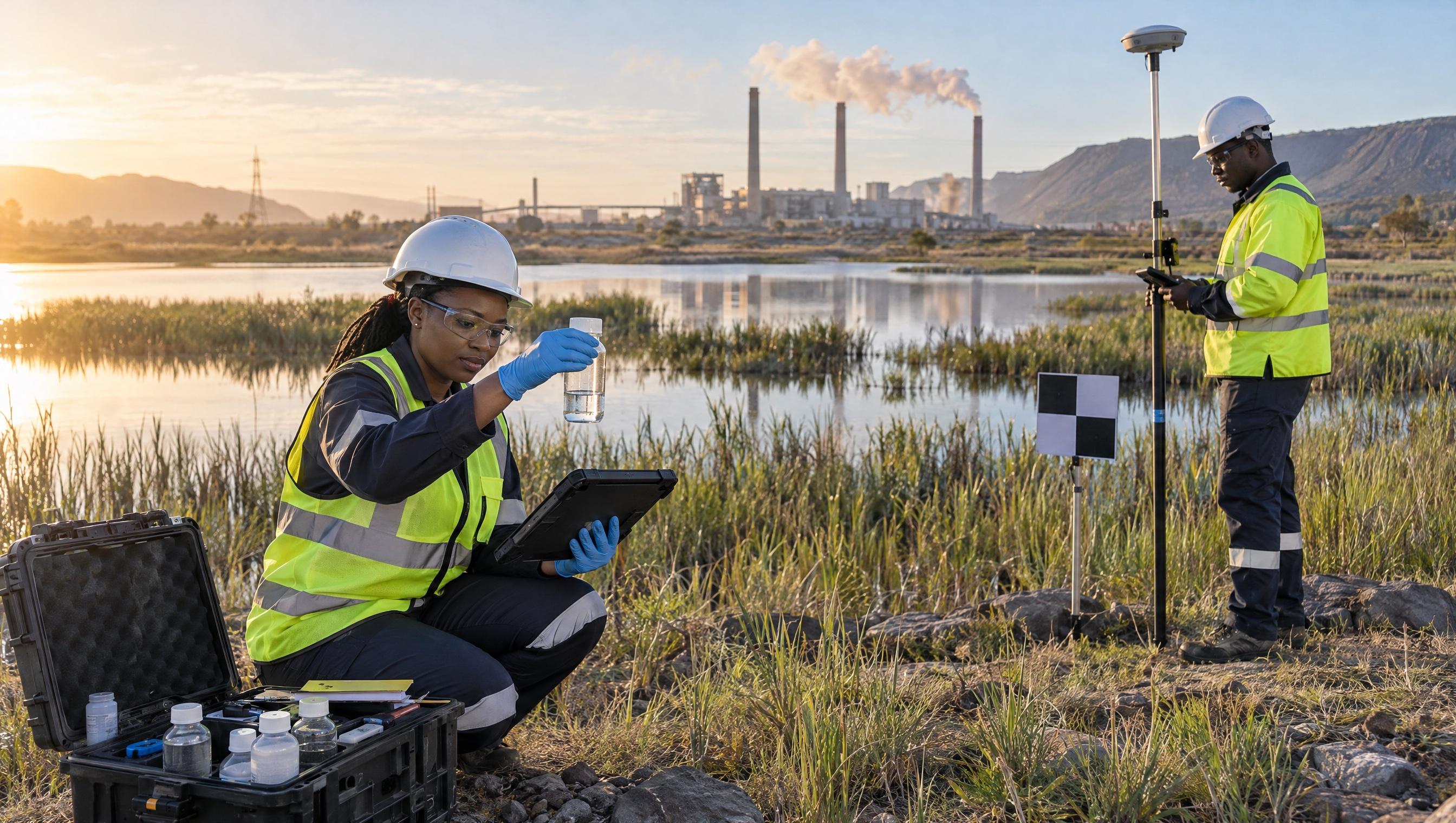
Environmental monitoring, forestry and biodiversity mapping, and water resource and soil health assessments.
Land Development & Property
Parcel mapping, cadastral surveys, title deed spatial referencing and land-use planning for developers and land administrators.
Academic & Research
Spatial data, satellite imagery and GIS capacity support for universities, research institutions and development programmes.
Don't see your industry?
We work across many sectors. Talk to us about your specific requirements.