
GNSS
Global Navigation Satellite System positioning for centimetre-level accuracy.
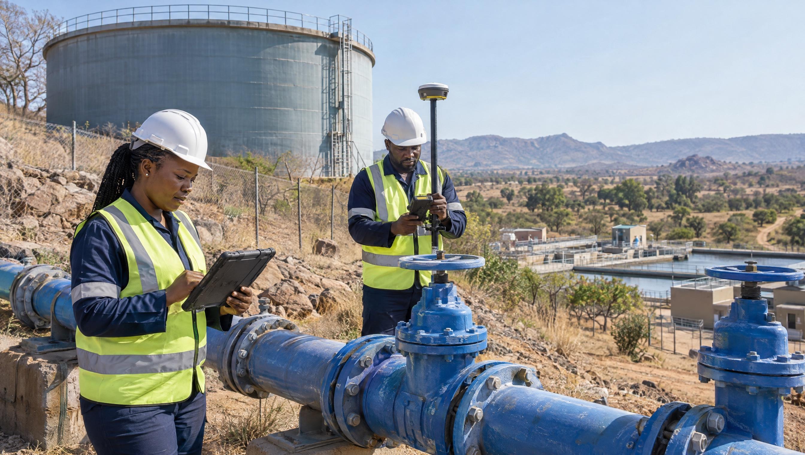
Geospatial Technology
GNSS, RTK, total stations, drones, scanning and GIS. Chosen for the job, not as a catalogue.
Global Navigation Satellite System positioning for centimetre-level accuracy.
Real-Time Kinematic positioning for instant, high-precision measurements.
Electronic theodolites with distance measurement for precise surveying.
UAV systems for aerial mapping, surveying and inspection.
Extract 3D measurements and models from photographic imagery.
Laser scanning for point cloud capture and reality modelling.
Geographic Information Systems for spatial data management and analysis.
Satellite and aerial imagery analysis for land monitoring.
Virtual replicas of physical assets for monitoring and simulation.
The specific platforms, databases, sensors and analytical methods we deploy on client projects.
Spatial data visualisation, geospatial analytics, location intelligence and multi-criteria decision analysis
OMEO high-resolution (30cm) imagery, multi-spectral data, NDVI, change detection and multi-temporal image analysis
Drone-based mapping and photogrammetry, LiDAR surveys, orthophotos and 3D terrain modelling
GPS/GNSS surveys, asset inspections and topographic and elevation data collection
Spatial database development, GIS platforms, dashboards and decision-support systems
Custom GIS applications, asset management tools, IoT integration and mobile field data collection apps
Digital and printed maps, thematic cartography, navigation, tourism and municipal map production
Road asset management, pavement, gravel and traffic analysis, and billing and metering data integration
Multi-criteria land-use analysis, spatial development frameworks, housing and development planning
GIS, remote sensing and drone operation training, spatial data management and strategy consulting
If this sounds like your job
Not sure which technology fits your project? Ask us.
Our technology specialists will help you select and deploy the best geospatial tools for your needs.