Skip to content
GeoVision logo
GeoVisionMapping futures, Shaping Progress
Harare|Pretoria
EquipmentProductsProjectsInsightsCareersAbout
+27 73 151 6876WhatsAppRequest a Quote
Quote
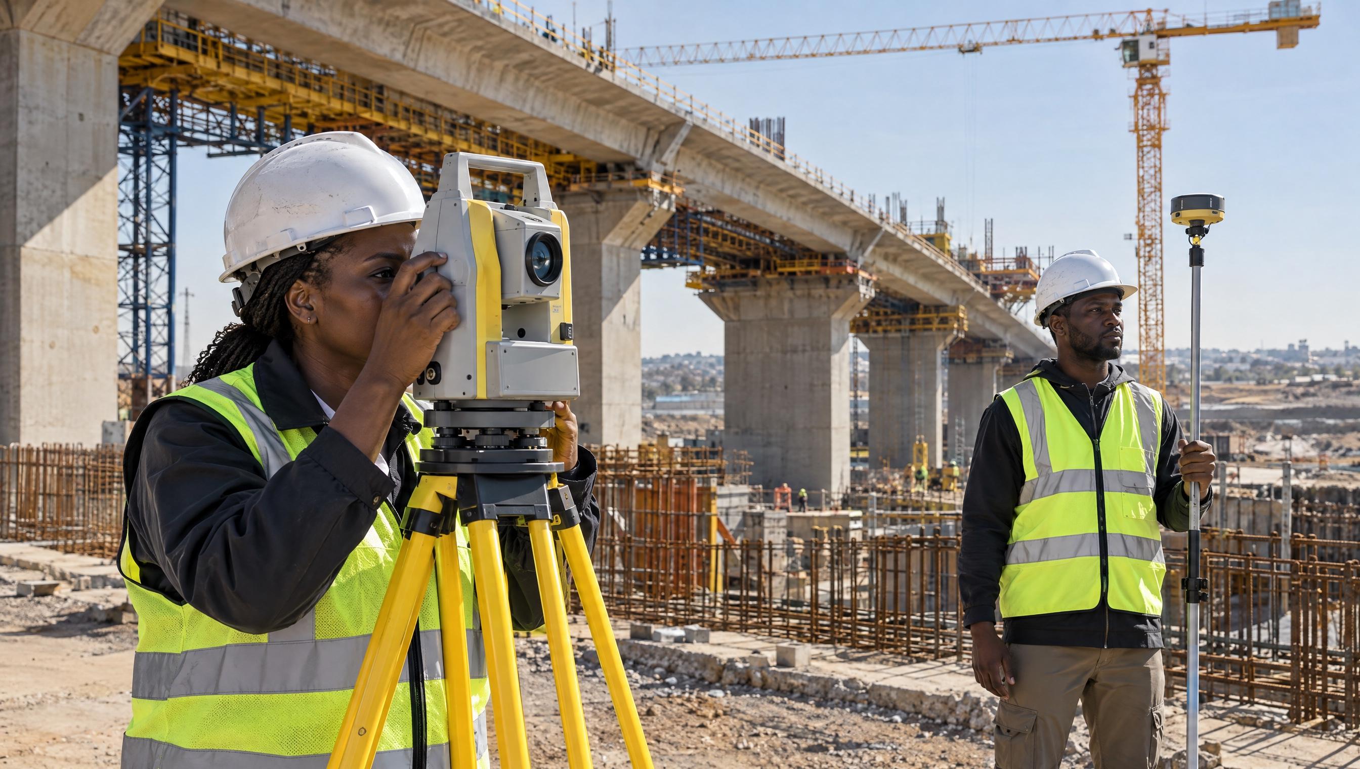
Field surveying and infrastructure control context

Surveying

Surveying, from the peg to the model

Boundary work, engineering setting-out, mining pits and GNSS control across Southern Africa.

Request a Quote

Land Surveying

01
  • Boundary surveys
  • Cadastral support
  • Topographical surveys
  • Engineering surveys
  • Construction surveys

Engineering Surveying

02
  • Setting out
  • As-built surveys
  • Structural monitoring
  • Infrastructure surveys

Mining Surveying

03
  • Pit surveys
  • Underground surveys
  • Stockpile volumes
  • Deformation monitoring
  • Mine development

GNSS / RTK

04
  • High precision positioning
  • Control networks
  • Static surveys
  • RTK surveys

3D Laser Scanning

05
  • Point clouds
  • Reality capture
  • 3D models
  • As-built documentation

Need a surveying service?

Tell us about your project and our surveying team will provide a tailored quotation.

Request a QuoteTalk to us
GeoVision logo
GeoVisionMapping futures, Shaping Progress

Mapping futures, Shaping Progress. Harare geospatial company and authorised OMEO imagery distributor for omeospace.com.

Navigation

  • Solutions
  • Industries
  • Technology
  • Equipment
  • Products
  • Projects
  • Insights
  • Careers
  • About

Services

  • Surveying
  • GIS & Mapping
  • Drone & Remote Sensing
  • Geospatial Technology
  • Survey Equipment
  • Consulting & Support

Contact

  • Call+27 73 151 6876
  • WhatsApp+27 73 151 6876
  • Emailinfo@geo-vision.org
  • HarareHarare, Zimbabwe
  • Pretoria215 Catharina Drive, La Montagne
  • HoursMonday to Friday, 08:00 to 17:00

© 2026 GeoVision. Pretoria office: Mashlo Investments.

Harare|Pretoria
PrivacyTermsProjectsInsightsAboutContactZimbabweMade by novenex.tech · 2026