
Skip to content
GeoVision logo
GeoVisionMapping futures, Shaping Progress
Harare|Pretoria
EquipmentProductsProjectsInsightsCareersAbout
+27 73 151 6876WhatsAppRequest a Quote
Quote
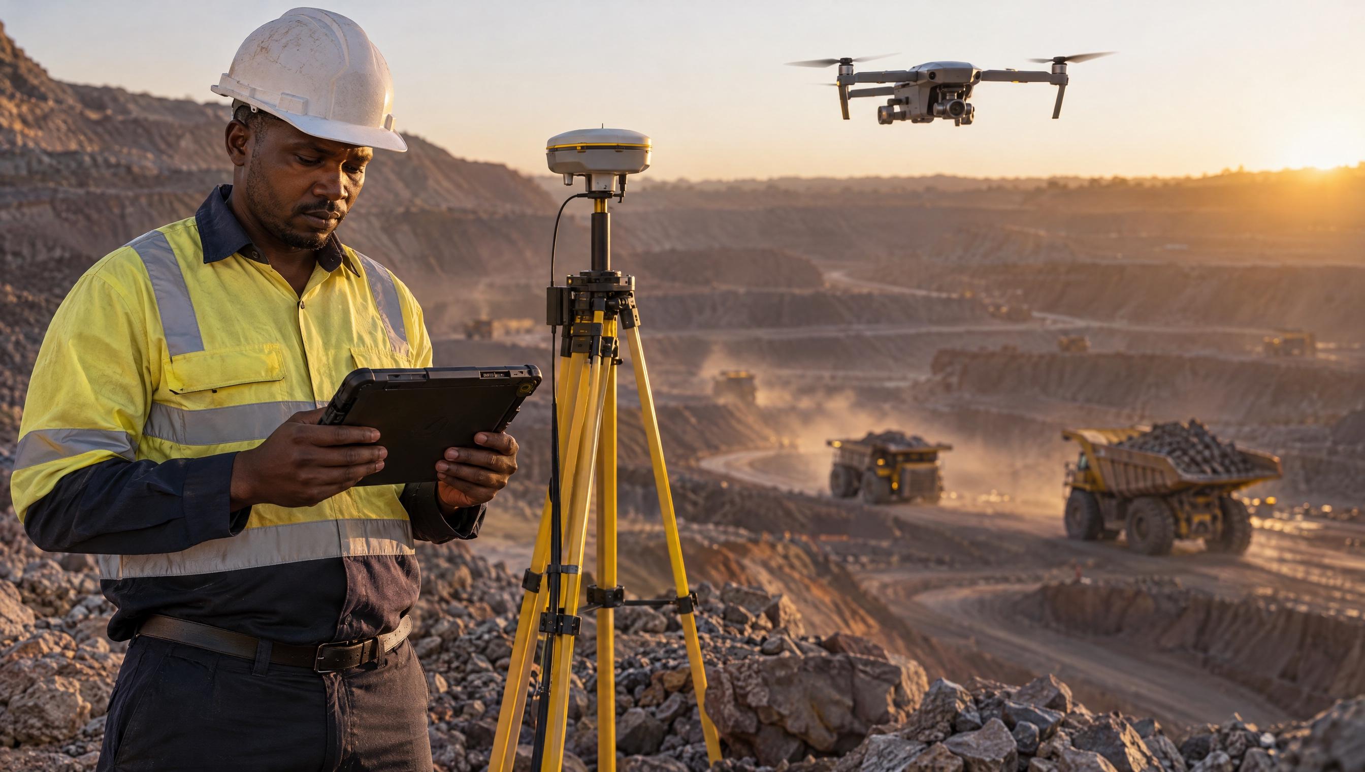
Aerial terrain used for risk and resilience mapping

Industry

Disaster Management Solutions

Flood risk mapping, wildfire detection, damage assessment and resilience planning for disaster management agencies.

Request a Quote

Disaster Management

The work we already do in disaster management.

Talk to us

Services for Disaster Management

Flood risk mapping
Wildfire detection
Damage assessment
Disaster response mapping
Risk modelling
Resilience planning

Ready to get started?

Our team has deep experience in the disaster management sector. Tell us about your project and we will provide a tailored solution.

Request a Quote

Looking for disaster management surveying or GIS services?

Our specialists understand your industry and will deliver the right solution.

Request a QuoteTalk to us
GeoVision logo
GeoVisionMapping futures, Shaping Progress

Mapping futures, Shaping Progress. Harare geospatial company and authorised OMEO imagery distributor for omeospace.com.

Navigation

  • Solutions
  • Industries
  • Technology
  • Equipment
  • Products
  • Projects
  • Insights
  • Careers
  • About

Services

  • Surveying
  • GIS & Mapping
  • Drone & Remote Sensing
  • Geospatial Technology
  • Survey Equipment
  • Consulting & Support

Contact

  • Call+27 73 151 6876
  • WhatsApp+27 73 151 6876
  • Emailinfo@geo-vision.org
  • HarareHarare, Zimbabwe
  • Pretoria215 Catharina Drive, La Montagne
  • HoursMonday to Friday, 08:00 to 17:00

© 2026 GeoVision. Pretoria office: Mashlo Investments.

Harare|Pretoria
PrivacyTermsProjectsInsightsAboutContactZimbabweMade by novenex.tech · 2026